Minehead to Porlock
- Aug 12, 2023
- 4 min read
August 8, 2023 - From the itinerary: Challenging - Moderate with an alternative more strenuous section. 8.9 miles to Porlock Weir, but I was only going to Porlock - same distance, but more inland at the end. Total distance for the day (including the extra trip to the marsh) - 10 miles.

Leave the pavements of Minehead behind as you set off onto the first section of the 630 mile trail, through woodland, along steep cliff tops, farm tracks and up and down beautiful wooded combes with bracken, gorse and bubbling streams.
Exmoor boasts the highest coastline in England with cliffs rising to 250m, 820ft, therefore there are some steep climbs and descents in this section. You can choose to follow the dramatic route known as the ‘rugged’ coast path which runs closer to the coast, or stay more inland on the moor and enjoy the spectacular views from Selworthy Beacon.
There is a lot to look out for, as the Exmoor coast provides a rich habitat for many beautiful and rare species of flora and fauna, including the blackneck moth, red deer, stag beetles and whitebeam trees (relatives of the rowan or mountain ash, unique to Exmoor).
The force of the sea is really evident at the end of your journey, where it is essential to follow the sign-posted paths. In 1996 the natural 6000 year-old shingle ridge across Porlock Bay was breached by a storm, resulting in the dramatic flooding of the fields behind at each high tide. This land is now changing from farmland to saltmarsh, creating a very special habitat for marine life and birds.
After a night of anxiety dreams starting from about 3am, I just got back to sleep when the alarm went off. Somehow I got up, showered and got everything packed in time for breakfast at 8. The croissant was a 10 out of 10 on the yumminess scale. I had the vegetarian English breakfast option - poached egg, avocado toast, halloumi, tomato, hash brown and coffee. I also asked for a pitcher of water with ice and drank all of it.


Still affected from our Chinese meal a couple of nights ago I went into the bathroom to get rid of the last of it and started my hiking day.
I actually added about 15 minutes of walking trying to find the SW Coast statue and start of the trail, thinking it was behind me when it wasn't. Anyway I finally found it and started the trail!


The weather threatened rain all day, but I was lucky and had only some mist throughout the day and some wind. The path wound around the hill next to the coast and finally started to climb. I took off my fleece and deployed my poles to start the 1100 feet climb.


The forest was dense and old and beautiful. Not too many stairs. Luckily the switchbacks weren't too bad and it was well signed. Unfortunately, near the top my moleskin on my right heal started to slip and became quite painful. Also the toes with the toe sleeves started to get tender, so I had to stop at the first bench I could find. Luckily it was near my first Exmoor ponies that were hanging out eating bracken. The forest had opened up to grassland as I got to the top of the plateau.


The views opened up and I was able to see across the straight into Wales. The heather was in bloom and the purple/orange flowers contrasted well with the yellow blooms and green of the bracken and the grey sky.


There's weren't many people along the trail, but there were cows and sheep in the pasture and along the trail.


A jogger passed me and scared a herd of Exmoor ponies. I froze and they walked right by me, very close.


I decided to try my "tinker bell" device and it worked well, until the end when I had an accident. Luckily I still had 4 miles to dry my right pant leg....

Other than the free range cattle and ponies, the plateau was rather dull. I decided not to take the rugged route and eventually started my way down towards Bossington. Once the trail started down it was quite steep and gravelly. The heather contrasted with the grey shale was really beautiful, but doesn't show in the photos.


I started to see more people coming out of Bossington and finally arrived at the charming town.


I was all set to go to a tea garden, but a loud yapping dog had me do an about face and continue the last mile to Porlock. Along the hedge lane I met a group of 10 walkers and felt nostalgic for my walking buddies.
I was very early - arriving around 12:30 - and decided to go for a light lunch in the Whortleberry Tea Room where I had a wonderful scone and a mediocre Victoria sponge slice. A Whortleberry is a local sweet blackish colored fruit common to Exmoor and the Quantock hills. It's been harvested by locals for centuries. During WW2 it was used for dye for military uniforms. The jam with the scone was whortleberry jam. The house was originally built as a fruit and veg shop around the middle of the 19th century.


The Lorna Doone hotel was still closed at 2:30, opening only at 3 for check-in. I couldn't even get in to leave my pack.


So I decided to walk down to the salt marsh and have a look. Porlock is only separated from the sea due to the rocky shole that has created a salt marsh which floods each high tide. You have to be careful when you walk on the board walk because in high tide this can be totally submerged.


I walked back and was allowed to check in. First thing I did was take a shower and wash my clothes which smelled rather bad at this point.


I made another tour of the small town of Porlock and went to a flower show at the church which was underwhelming as many of the flowers were wilting. Here are some views of Porlock


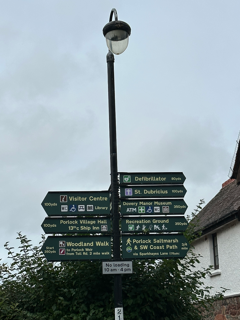
I was glad to see there were directions to the defibrillator
Dinner was at the hotel. Onion soup (forgot to get the picture) and a bacon cheese burger made from local beef. It was pretty good for a beef burger and English bacon is more like our Canadian bacon. It was surprisingly tasty.


Tomorrow should be more challenging and longer. The view of the cliffs in the mist is beautiful and mysterious.
Comentarios